GX
WHAT WE DO

We’r Prodviding UAV
Drone Services

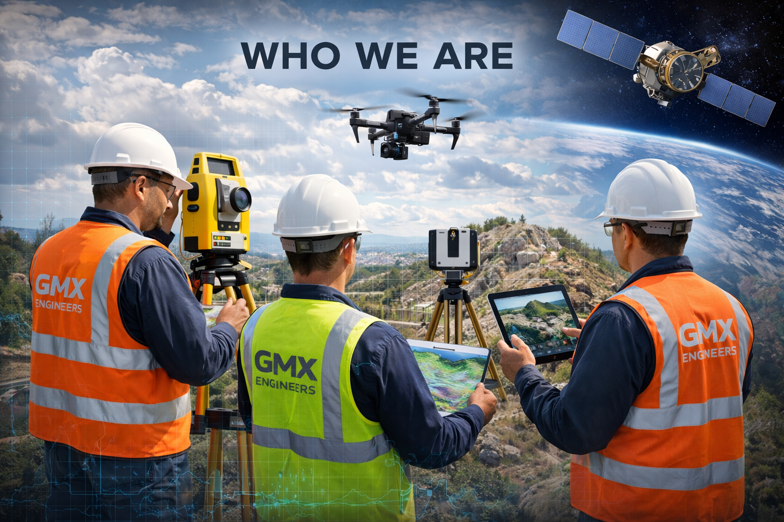
We are specialized in Photogrammetry, LiDAR, Inspection, Progress Monitoring, to deliver precise, efficient, and cost effective, aerial insights. Our targeted industries include real estate, Oil & Gas, Cnstruction sites, Progress Monitoring, and Inspections.

WHO WE ARE?

GMX Engineers is a professional engineering and geospatial services company specializing in advanced surveying, mapping, and remote sensing solutions. We combine technical expertise with modern technologies—including drones, photogrammetry, LiDAR, geophysical methods, and satellite imagery—to deliver accurate, reliable, and data-driven results. Our team is committed to precision, innovation, and client satisfaction, supporting infrastructure, construction, and development projects from planning to execution.

OUR MISSION

To deliver accurate, reliable, and innovative geospatial solutions by leveraging advanced surveying, drone, and remote sensing technologies, enabling our clients to make informed decisions with confidence.

OUR VISION

To become a leading geospatial and mapping solutions provider, recognized for technological excellence, precision, and our commitment to shaping smarter, sustainable infrastructure and development.

OUR COMMITMENT

We are committed to providing end-to-end geospatial services—ranging from topographic surveys to advanced drone-based and satellite solutions—delivering actionable insights that support planning, construction, monitoring, and decision-making across industries.

OUR MISSION

BIM (Building Information Modeling) is a digital process used to create intelligent 3D models that represent the physical and functional...

Mining & Minerals Exploration

Often used to help locate underground resources, mining surveys play a crucial role in identifying and evaluating potent...

GeoTechnical Survey

Geotechnical Survey is the process by which a geologist ventures into the field to observe, analyze, and record geological features directly...

ERS (electrical resistivity survey)

An Electrical Resistivity Survey is a geophysical technique used to ...

GPR (Ground Penetration Radar)

Ground Penetrating Radar (GPR) is a non-invasive geophysical method used to detect and visualize ...

3D Laser Scanning / Surveying

3D Laser Scanning is an advanced surveying technique that captures high-precision, three-...

225 +

Projects Done

992 +

Happy Clients

120 +

Working Prohects

390 +

Working People